Wondering what your Hiouchi acreage or Smith River frontage is really worth? You’re not alone. Pricing land here is different from pricing a house, because usable land, access, utilities and flood risk can change value in a big way. In this guide, you’ll learn what moves price in Hiouchi, how to read comps in a thin market, and the steps to build a confident number for your property. Let’s dive in.
What drives price in Hiouchi
Access and road quality
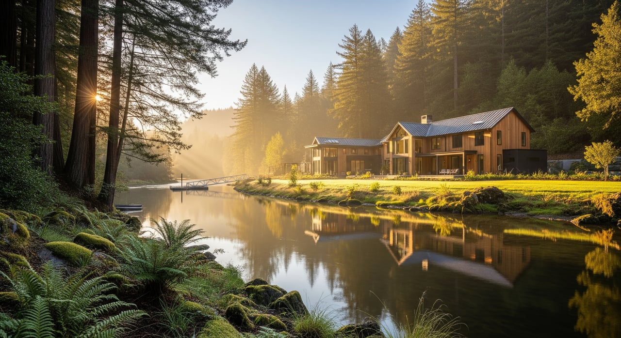
Legal, year‑round access often sets the floor for value. Parcels with public road frontage that meet county standards are easier to market and finance than those reached only by a private easement. Steep or seasonally impassable driveways can limit buyer interest and may lower price. If the parcel has safe, legal riverbank access rather than just a view, that can also affect what buyers will pay.
Usable acres vs. gross acres
On river‑adjacent land, buildable area matters more than total acreage. Steep banks, riparian corridors and floodplain can reduce where you can place a home, driveway, well and septic. Long, narrow river strips with little upland usually carry lower per‑acre values than wider parcels that include both frontage and flat upland. Slope, soils and bank stability also influence site work costs and price.
Utilities and services
Water, septic and power are major value levers. Many rural parcels rely on wells and septic, so a permitted septic system or recent design often boosts marketability. Distance to electrical service influences cost to build. Some buyers consider off‑grid or propane solutions, but that can narrow the buyer pool compared with similar parcels that have utilities at the lot.
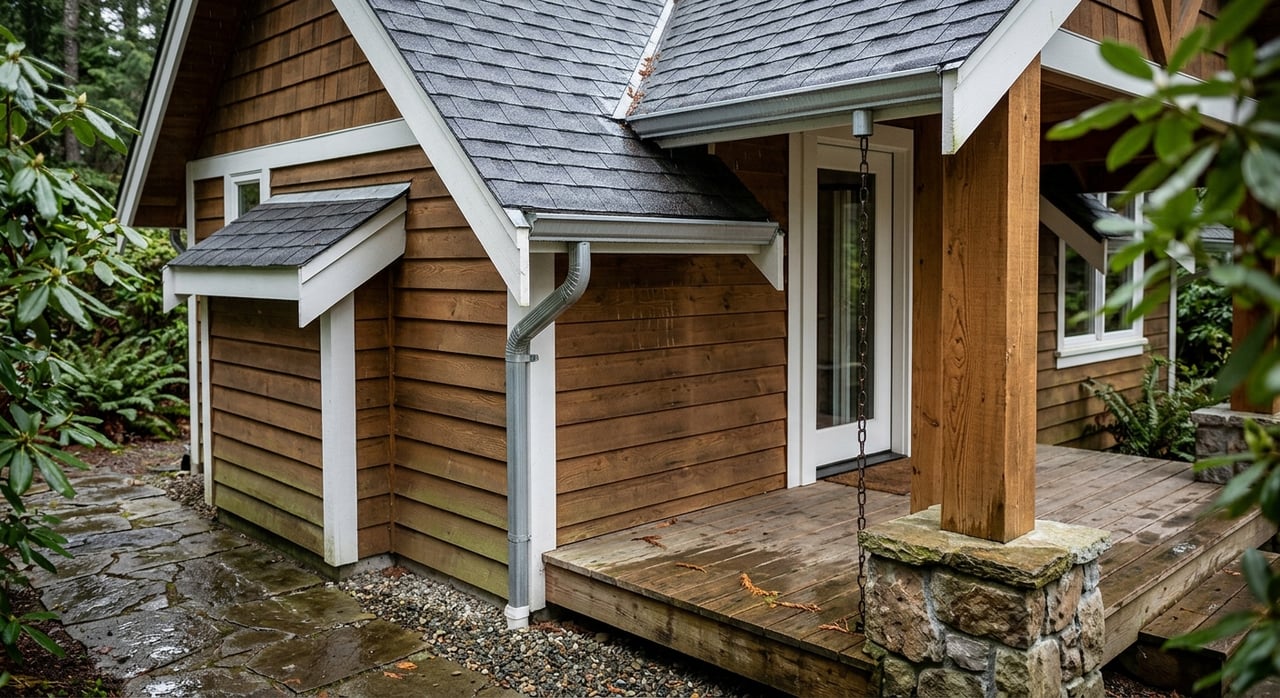
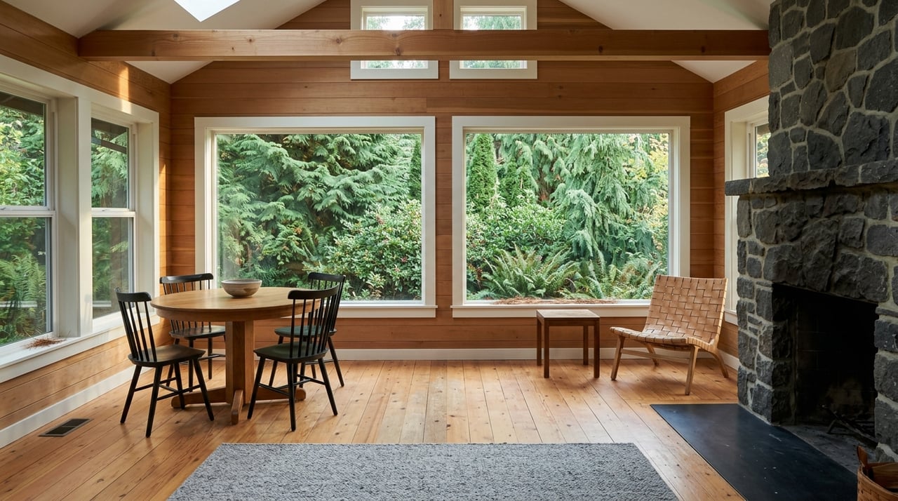
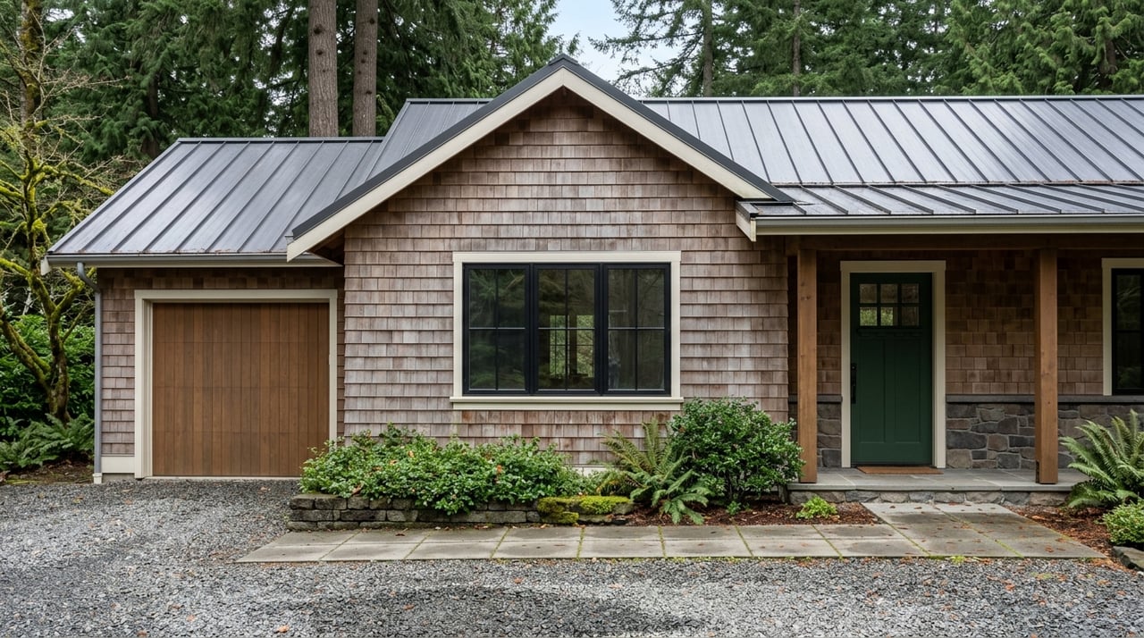
Improvements and title items
Permitted homes, outbuildings, driveways and established building pads add value. Unpermitted structures create risk. Easements, shared road agreements and deed restrictions shape how a parcel can be used. Conservation easements or other recorded limitations can reduce price, while recorded access or utility easements can improve marketability by solving key problems.
Flood risk and environmental rules
FEMA flood zones affect insurance, lender requirements and building elevations. Near rivers and streams, setback rules and protections can restrict where and how you build. Wetlands and jurisdictional waters may trigger federal and state permits, and areas with protected species can face seasonal work windows. These constraints can reduce buildable area and add cost and time, which weighs on price.
How to price your parcel
Start with a desk review
Collect the APN, assessor parcel map, recorded deed and recent tax assessment. Pull zoning and general plan info, and identify any recorded easements or covenants. Note proximity to the Smith River or its tributaries and whether the parcel lies within any designated protected reach.
Walk the site
A site visit helps you translate maps into reality. Confirm access, slope, potential building pads and any existing improvements. Observe the riverbank for stability and typical water levels. Photograph access points, utility locations and likely well and septic areas.
Order key technical checks
If septic feasibility is unknown, schedule soils or perc testing. If water supply is unclear, gather well logs or basic hydrologic information. If slopes or banks look questionable, consider a geotechnical opinion. These checks reduce uncertainty and support a stronger price.
Build a comp set that fits Hiouchi
Use the MLS and county records to find closed sales with similar buildable acreage, river adjacency, access and utility profile. When sales are sparse, expand the time window and adjust for market trend. Avoid relying on list prices. Verify whether sales included unusual terms, family transfers or off‑market concessions.
Make targeted adjustments
Adjust for usable acres rather than just total acres. Factor in legal public road frontage vs. private easement. Account for utilities, permitted improvements and flood or permitting constraints. Document each adjustment and why it applies. The goal is a price opinion that a reasonable buyer and seller can both understand.
Reading comps in a thin market
Match the river profile
A parcel with true bank access is not equivalent to one with only a distant view. Match frontage type when selecting comps. Align flood zones and regulatory context as closely as possible, since those influence insurance and buildability.
Focus on buildable area
Two parcels with the same gross acreage can have very different values if one has flat upland outside setbacks and the other does not. Estimate the usable footprint first, then compare.
Align access and utilities
Public road access typically expands the buyer pool. Similar utility status improves comparability. A parcel with power at the lot and a permitted septic will usually trade differently than raw land.
Time and circumstances matter
Because riverfront sales are limited, you may need to look back 12–36 months. Confirm sale conditions with public records. Be cautious with estate or family sales that may not reflect typical market behavior.
Seller checklist: what to gather now
- APN, assessor parcel map and any recent survey or parcel map
- Recorded deed, preliminary title report and any easements or restrictions
- Septic permits, well logs and as‑builts if available
- Building permits and final occupancy for any structures
- Zoning details, setbacks and parcel‑coverage rules
- FEMA flood map panel and flood zone determination
- Soils or slope information and any geotechnical summaries
- Recent local comps with documentation
Having these documents ready makes pricing faster and increases buyer confidence once you go to market.
Buyer due diligence for riverfront land
- Confirm legal, year‑round access and any road maintenance agreements
- Identify flood zone and ask a lender or insurance agent about requirements
- Verify septic feasibility and well status early in the process
- Review recorded easements, conservation restrictions or timber plans
- Understand likely permits near the river and typical timelines
- Budget for power extension if lines are not at or near the property
Doing this early helps you avoid delays and keeps negotiations focused.
Smith River and permitting notes
Parts of the Smith River corridor are within protected designations that influence development near the water. Activities that alter a streambed or bank in California generally require coordination with the appropriate state agencies. Wetlands or jurisdictional waters can trigger federal and state water quality permits. Where protected species are present, certain work is limited to seasonal windows. Plan ahead and consult the relevant county and state offices as you evaluate options.
What adds or subtracts value
- Likely value adds: public road frontage, flat buildable upland outside flood zones, permitted septic and well, power at the lot, permitted improvements, clear title with practical easements
- Likely value drags: private or seasonal access, steep slopes or unstable banks, limited buildable area, unknown or unpermittable septic, long distance to power, special flood hazard areas, recorded restrictions that limit use
Your next steps
If you’re preparing to price or purchase acreage or riverfront in Hiouchi, start with the fundamentals: buildable area, access, utilities and regulatory context. Then anchor your number in local comps with clear adjustments. If you want a site‑specific value range and a plan to market or purchase with confidence, reach out to the Green Pacific Real Estate Team. We’ll help you gather the right records, interpret the local rules and deliver a stress‑free path to a smart decision.
FAQs
What affects the price of Hiouchi riverfront land?
- Usable buildable area, legal access, utilities, permitted improvements, flood zone and any riparian or environmental constraints are the biggest drivers.
How do I know how much of my Hiouchi acreage is buildable?
- Estimate buildable area using topography, soils, flood maps and setback rules, then confirm with a site visit and, if needed, soils or engineering input.
Do I need flood insurance for Smith River property in Hiouchi?
- It depends on your FEMA flood zone and lender requirements. Identify the zone and consult an insurance agent for coverage and cost guidance.
What permits are common when building near the Smith River?
- Expect county building and septic permits, with possible stream protection and water quality permits if work affects banks, wetlands or jurisdictional waters.
How should I choose comps for Hiouchi acreage pricing?
- Match buildable acreage, river adjacency, access type, utility status and flood or regulatory context. Adjust for differences and verify sale conditions.
What documents should a Hiouchi seller gather before listing land?
- APN and parcel map, deed and title report, septic and well records, permits and as‑builts, zoning and setback info, FEMA flood map, and recent local comps.